
Madera ZIP Codes and Their Coverage
Four postal zones are associated with Madera, but the delivery footprint is wider than the incorporated city. The table is a research starting point, not a substitute for address-level confirmation. USPS should decide the ZIP for a specific street, rural route, or box.
| ZIP | Areas Covered | Post Office | Notes |
|---|---|---|---|
| 93636 | North and east rural-suburban Madera postal territory | Madera delivery network | Split from 93638 on July 1, 2006, for about 4,070 deliveries |
| 93637 | West, central, and northwestern urban Madera plus nearby postal territory | Served through Madera facilities | Verify every address; a postal label is not a city-limit test |
| 93638 | Downtown, east, and south Madera plus surrounding postal territory | Madera Main and Carrier Annex | Main: 201 S. D St; annex: 220 S. C St |
| 93639 | Madera postal designation | Exact facility unverified | Do not assign coverage without an address-level USPS check |
The first three rows have useful local context. The fourth must stay qualified because the captured research did not verify a facility or a precise area for 93639. A ZIP code directory is most accurate when it reports that limit instead of filling it with a guess.
Postal territory can also cross a county road, a subdivision edge, or a city line. Keep the mailing label, the USPS result, and the jurisdiction check as three separate notes. That small habit prevents a delivery area from being mistaken for a resident roll.
Madera ZIP Code Split and Post Offices
ZIP 93636 was carved from 93638 on July 1, 2006, for about 4,070 deliveries. That change matters in older address research: a past record may carry 93638 even when the same delivery area now uses 93636. Keep the issue date, not just the current ZIP, when comparing directories, tax records, or family papers.
For 93638, Madera Main is listed at 201 S. D Street, with the 93638-9998 ZIP+4 example. The Carrier Annex is at 220 S. C Street. Madera Main's phone is 559-664-8578. Retail hours are listed as weekdays from 9 a.m. to 5 p.m.; PO-box access is listed weekdays from 5 a.m. to 6 p.m. and Saturday from 5 a.m. to 5 p.m. General Delivery and PO Box Online are available services. Confirm current hours before a trip.
93639 remains a deliberate stop sign. No exact facility or postal-use pattern was verified in the research, so USPS address lookup is the access route for each 93639 address.
The post office is a delivery custodian, not a resident-records office. Retail service, General Delivery, and box access answer different mailing needs. They do not disclose a household list, owner name, or city-limit status. Keep the ZIP result as a routing fact before moving to county or city records.
Verify a Madera ZIP Code
The USPS address lookup is the right first check for a real delivery address. It keeps a postal answer separate from a city, county, parcel, or resident question.
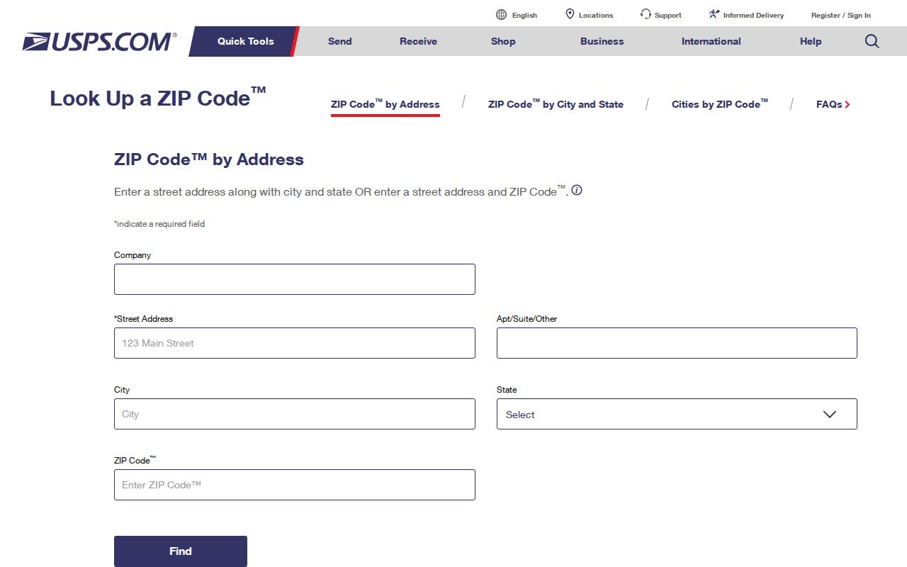
The USPS form shows why an address-level result is safer than a ZIP map. Save the returned ZIP and ZIP+4 with the date of the check when an older record is being compared.
- Enter the complete delivery address, including the street number, street name, direction, unit, or box detail that is known.
- Enter the mailing city exactly as used on the address and choose California as the state.
- Submit the lookup and record the returned five-digit ZIP and any ZIP+4 extension.
- Compare that result with the parcel or record custodian, not with an assumed Madera boundary.
Madera ZIP Lookup Fields
The USPS address search uses a short field set. Each field answers delivery routing, not residence or ownership.
| Search field | Type | Required | What to enter |
|---|---|---|---|
| Address | Text | Yes | Full street address, unit, or delivery detail |
| City | Text | Yes | Mailing city as supplied by the address holder |
| State | Selection | Yes | California |
| Find or submit | Button | Yes | Return the address's ZIP and, when available, ZIP+4 |
A postal result can settle the ZIP field in a form. It cannot create a list of residents. For that, the address must be connected to a parcel or named record through a separate custodian.
Finding Madera Residents by ZIP Code
Most Madera public systems do not provide a simple ZIP-wide resident browse. Use the following sequence when a ZIP narrows the geography but a name or address still needs proof.
- Verify the address with USPS and save the returned postal code.
- Use County GIS or ParcelQuest Lite to connect the address to an APN, parcel shape, and jurisdiction. The County GIS Address Locator accepts an address or APN; a ZIP filter was not verified.
- Use the property-tax portal only for one assessment number, fee parcel number, or street address. It suppresses the assessed owner name and does not search an entire ZIP.
- Use My Voter Status only for the voter who can authenticate. A ZIP browse is not offered, and approved voter-file requests are controlled by California law.
- Move from the address or APN to the recorder by party name and year. The recorder has no ZIP or address search, and online users see index references rather than document images.
If a ZIP narrows the work to a street, the Madera street directory route takes over with the address and parcel chain. A city or county public-records request can seek an existing record with a ZIP field, but the California Public Records Act does not require a new ZIP-wide compilation.
The Assessor's public gateway points to ParcelQuest Lite, while the county GIS gallery supplies map and parcel layers. Both are useful for finding the next address key, but their captured pages do not verify a ZIP-wide people filter. The tax portal is an address or parcel check, and the recorder's name index is a party search. Each handoff should carry the address, ZIP, APN, and search date.
Madera ZIP Code Boundaries and City Limits
A Madera postal label can describe an unincorporated parcel, while an incorporated parcel can have a delivery label that does not match a neat city outline. City Planning maintains streets, zoning, General Plan, annexation boundaries, and council districts. County GIS maintains the parcel and address layers used for assessment work. Check both before choosing City Building or a county department for a record request.
Official city materials document the Country Club Drive-Martin Street annexed property and use Parksdale as an example of proposed incorporation. These are jurisdiction clues, not proof that every nearby mailing address lies inside the city. A postal directory should therefore state the delivery answer and then test the current city limit separately.
The official Madera history and growth page supplies local context for how a postal place and an incorporated place can develop on different lines.
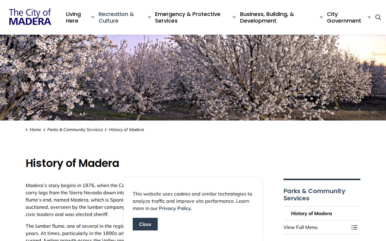
The history view reinforces the need to check the current map, rather than treating an old place label as a current jurisdiction.
Boundary check. Postal Madera, incorporated Madera, and Madera County are related labels, but they are not interchangeable record jurisdictions.
Madera Address Record Keys
An APN is the parcel key used by assessment, GIS, and tax systems. Madera's tax portal uses a 12-digit assessment or fee-parcel number, with an example format of 001-001-001-000 and no alphabetic characters. The recorder ultimately retrieves an instrument by party name, year, and document or book-and-page reference. A postal code can help place the search, but it is not the legal key.
- APN
- Assessor Parcel Number, the identifier tied to a parcel in county property systems.
- Situs address
- The physical location of the land or building, which can differ from the owner's mailing address.
- Mailing address
- The address used for owner correspondence and tax notices, not a guaranteed place of residence.
- Legal description
- The formal land description in a deed or related instrument; it can remain useful after a street number changes.
- ZIP+4
- The four-digit extension added to a five-digit ZIP to refine delivery routing.
Use the APN and legal description to bridge a postal label, a parcel map, and a deed trail. Do not turn a shared ZIP into an assumption about a household.
The tax system accepts an assessment number, fee parcel number, or street address, but its online result omits the assessed owner name. The recorder cannot search by ZIP or address. If a named record is needed, move from postal geography to the custodian's required key rather than repeating the same ZIP search.
Madera ZIP Geography in Context
Census QuickFacts estimates Madera city's July 1, 2025 population at 69,017, compared with 66,224 in the 2020 census. Those figures describe the incorporated city, not the population of each postal ZIP. ZIP coverage, city limits, and census geography use different boundaries, so a population total cannot validate a ZIP-wide resident count.
Madera's downtown grid, Highway 145 alignments, State Route 99, railroad corridor, newer subdivisions, and rural edges all shape how an address reaches a record office. Older household research may use a directory or newspaper, while a newer edge may depend on a parcel, subdivision map, permit file, or GIS layer. The geography is a reason to preserve the original address and search date.
The General Plan describes downtown as a classic grid near the freight railroad, with traditional neighborhoods and later growth areas. That history explains why one ZIP can hold different record eras without making the ZIP itself a historical directory.
The Census QuickFacts Madera profile provides the city-level comparison point.
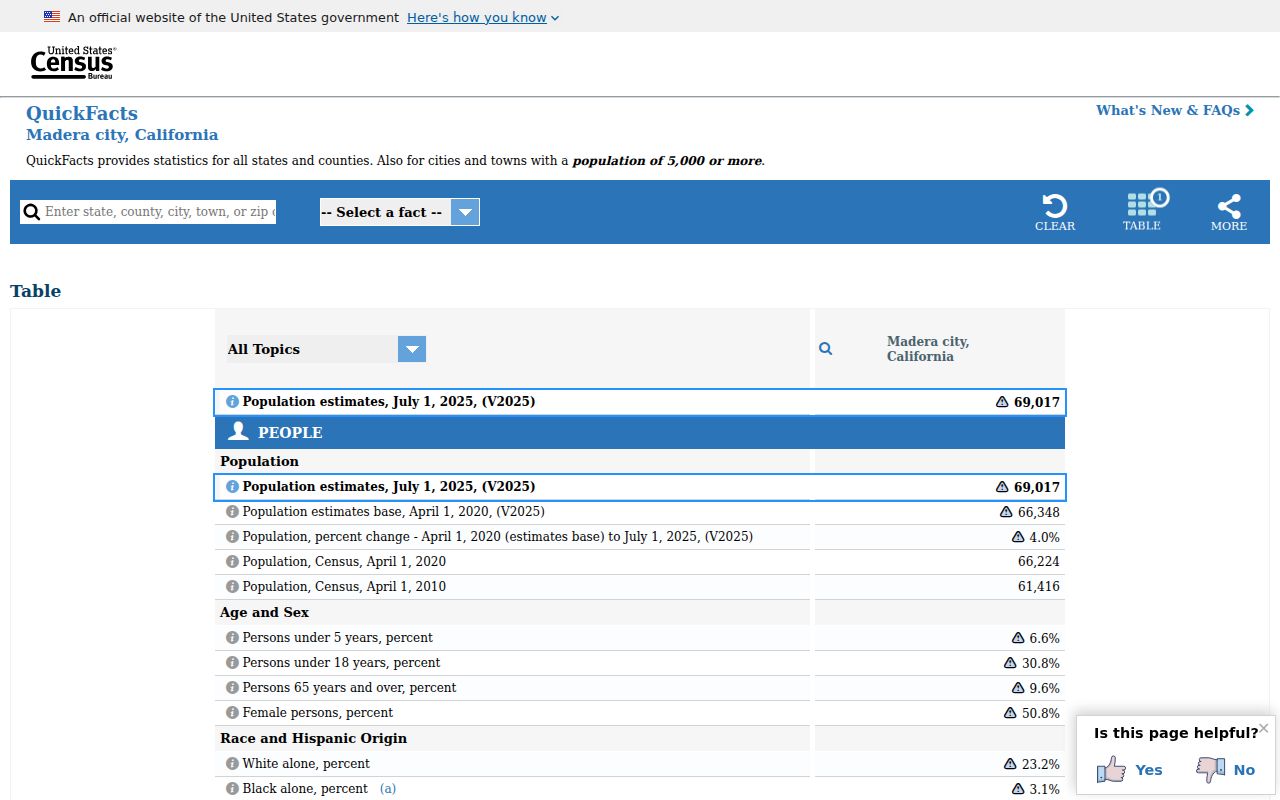
Use the Census figure for city context, USPS for delivery, and the county or city custodian for the record itself. That three-part check keeps a Madera ZIP code directory useful without overstating what postal geography can show.